North Coast Trail – Vancouver Island's Most Rugged Coastal Hike
BACKPACKING
Jan & Petra
6/15/202518 min read
In this blog post, you will find
Why North Coast Trail?
Route Options
Logistics and Planning
Essential Gear Check
Our story - Day 1 to Day 4
Aftermath and what to do around
Trip Recap
Best time to go
Estimated Costs
Useful Links
When people think of hiking on Vancouver Island, the West Coast Trail usually takes the spotlight. It's iconic, dramatic, and well-known. For those looking for a shorter or more beginner-friendly coastal hike, the Juan de Fuca Trail offers a solid adventure without the same level of commitment. If you're craving real remoteness, the Nootka Trail steps in—wild, raw, and far away from crowds.
But for those of us chasing something deeper—something that combines remoteness, challenge, solitude, and raw coastal wilderness—the North Coast Trail is where the real adventure lives.
Why North Coast Trail?
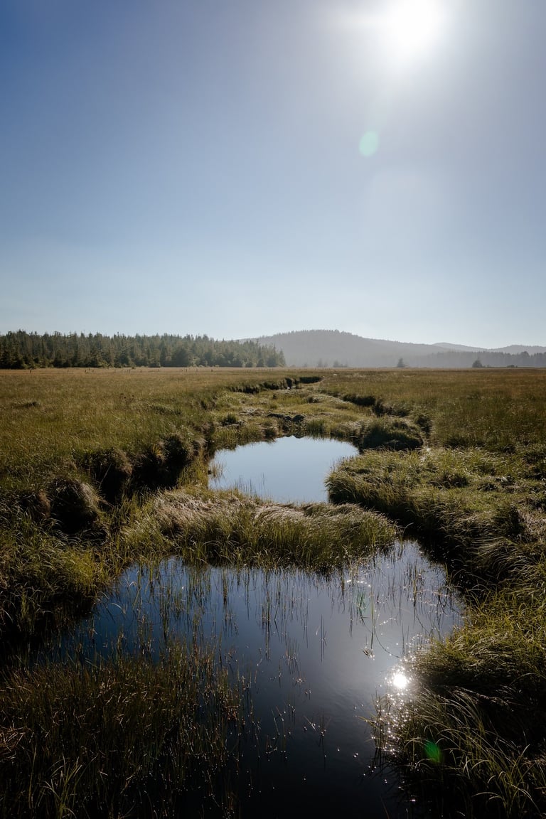
The NCT blends the best (and worst) of its famous siblings: the wild isolation of the Nootka Trail, the length of the West Coast Trail, and a serious drop in foot traffic. You’ll likely go long without seeing another soul, and that’s part of the magic. But that also means you’re on your own out there—water sources are limited, despite the ironic fact that the trail is often soaked in mud. After any rain, expect long, boggy sections that suck your boots down like quicksand.
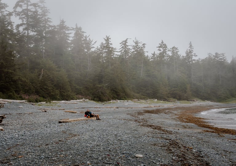
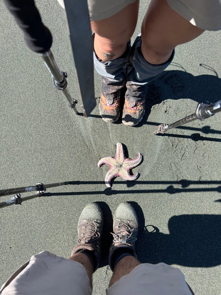
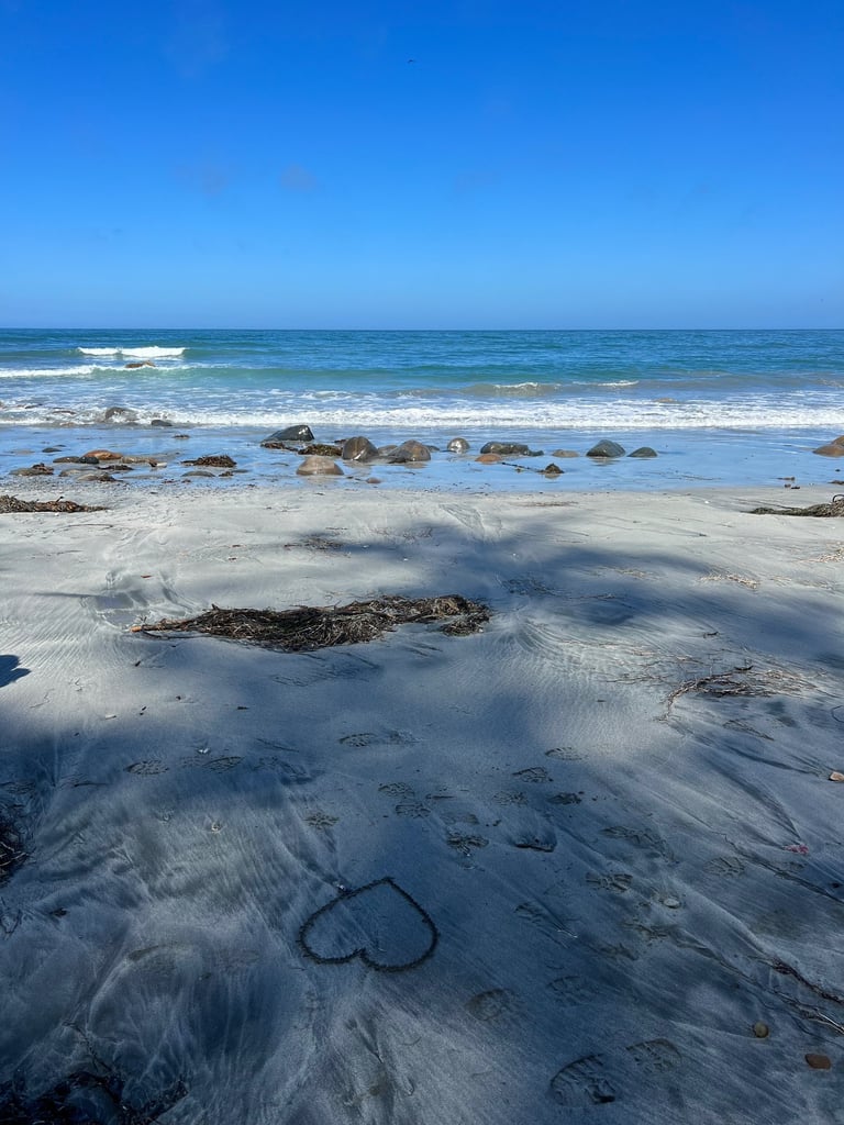
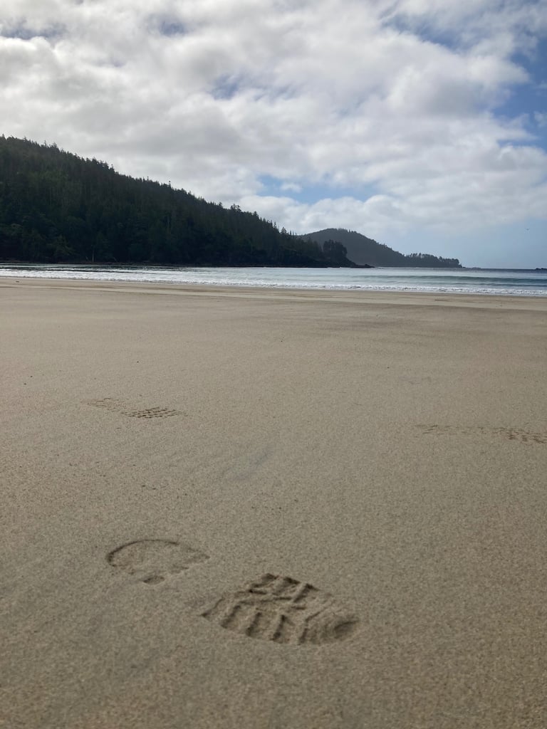
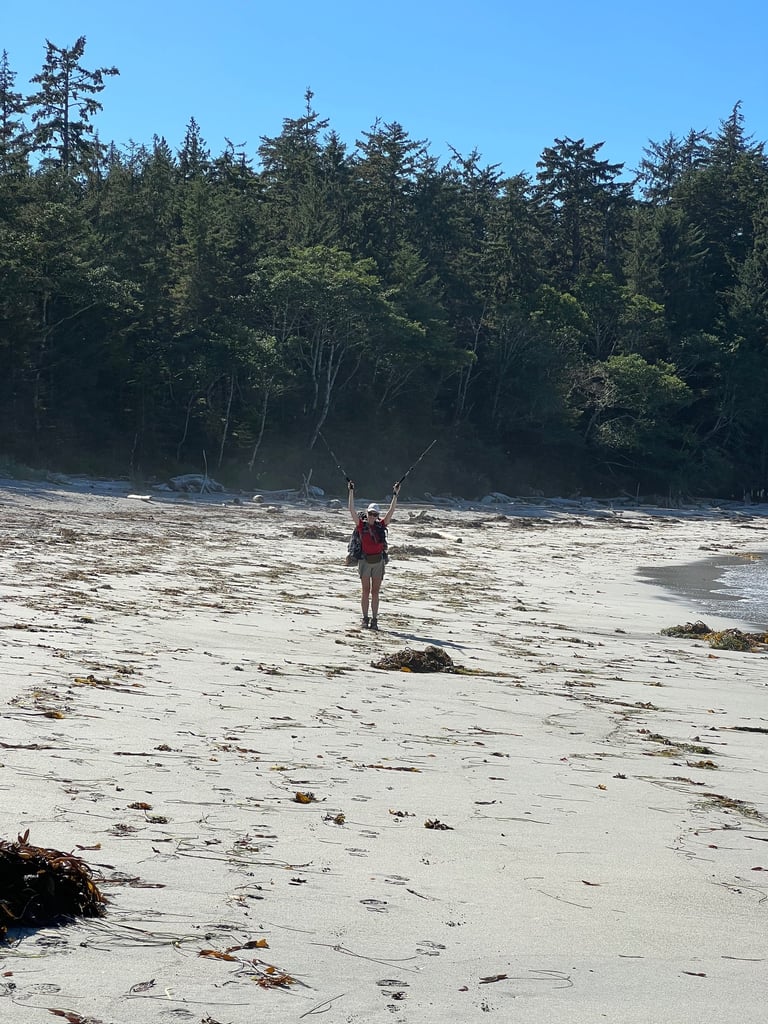
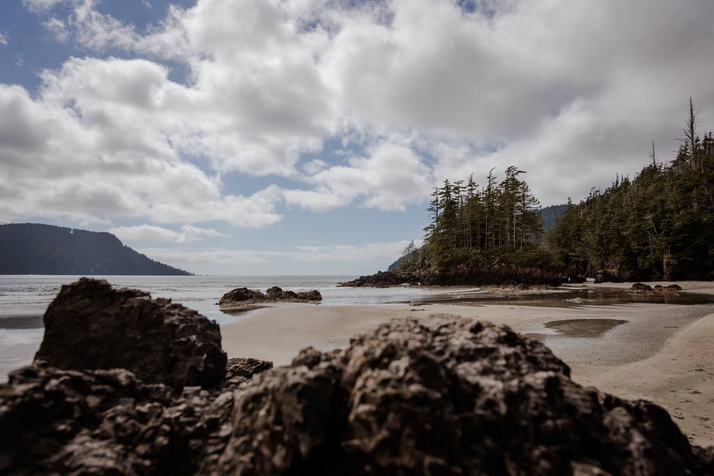
Still, few places in Canada match the beauty of this trail. From the dense mossy forest to wide empty beaches and tidal shelves dotted with starfish, it all builds to a final reward: the pristine white sands of St. Joseph Bay, one of the most beautiful spots on the entire island.
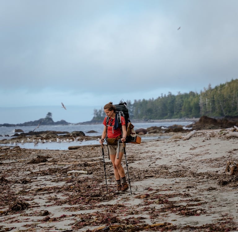
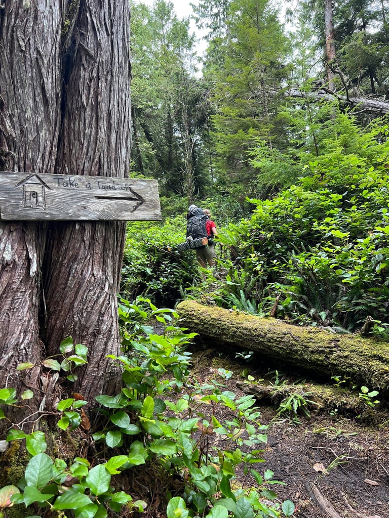
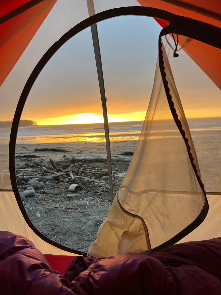
Our Story: Day 1 – The Real Adventure Begins
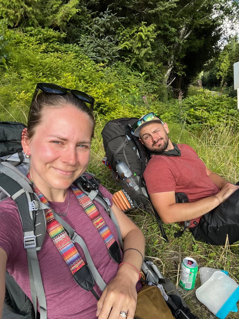
If you live in Vancouver and work a regular 9–5, you’re not exactly the most flexible person when it comes to last-minute getaways. So, like most of us, we had to plan ahead. We picked a week in August and managed to stretch it into 9 days using a long weekend, which meant only 4 days off work—a good trade-off.
Keep in mind: this trail doesn’t exactly start around the corner. It kicks off way up north on Vancouver Island, near Port Hardy. That means a ferry to Nanaimo, followed by a good 4–5 hour drive north. So right away, factor in a travel day there and back.
Essential Gear Checklist
Some of the most important gear you’ll want to carry includes:
Satellite communicator (a must—not optional)
First aid kit
Water filter + purification tablets (many water sources are stagnant or questionable)
2-3L of water for the first day
Bottle that can hold boiling water (for treating water by boiling)
Extra dry clothing set – One warm, one waterproof
Reliable windbreaker & rain jacket
Stove + fuel (enough to match your water treatment plan)
Tent + sleeping bag + sleeping mat
Food supply for each day, with some buffer
Bear spray or bear banger...or both.
Snacks/treats (thank us later)
Offline maps - we use AllTrails
Tide table - you will not be able to cross a section of the trail if the tide is above 2m (6.5ft)
This is not the trail to skimp on gear or gamble with the weather.
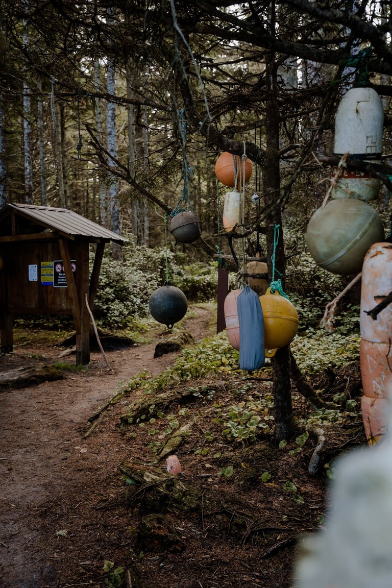
The official North Coast Trail (that you can also find on AllTrails app) ends at Nissen Bight/Fisherman's Bay - please note, that if you have not reserved a pick up shuttle from the Fisherman's Bay you will still have to walk your way out for about 15 km to the Cape Scott trailhead parking lot.
The official North Coast trail (1st map) vs the extended Route that we did (2nd map) in 4 days:
A list of all campsites along the way:
0 km Shushartie Bay campground (1 on the map above)
water source: YES
if you don't catch an early morning boat ride, we'd recommend spending the first night here and start the next morning
8.1 km Skinner Creek campground
water source: might be dry
11.0 km Nahwitti River campground (2 on the map above)
water source: YES, further up the stream (barnacles mean the eater is still salty)
14.5 km Tripod Beach unofficial campsite
tidal obstacle
water source: did not see any
16.0 km Cape Sutil campground
water source: did not see any
23.8 km Irony Creek campground at Shuttleworth Bight (3 on the map)
water source: YES
29.0 km Wolftrack Beach unofficial campsite
water source: we did not see any
35.6 km Laura Creek campground
water source: YES
43.1 km Nissen Bight campground
water source: at the far east side of the beach as well but we can't confirm
49.2 km Nels Bight - unofficial campsite (4 on the map)
water source: NO
the closest water source is 7km away at the Lighthouse at Cape Scott - very easy, leg stretching walk
52.9 Guise Bay campground
water source: YES - tap water at the Lighthouse at Cape Scott
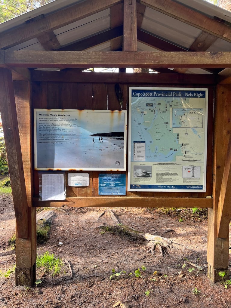
See this detailed map of all campsites: https://capescottpark.com/docs/trailmap.pdf
Logistics and Planning
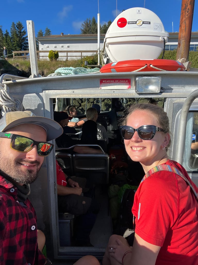
The trail starts at Shushartie Bay, which is only accessible by a boat shuttle via Cape Scott water taxi from Port Hardy. The trip takes about an hour and must be booked way in advance. There are no roads, no cell service, no shortcuts. Once you're on the trail, the only way out is to finish it—or call in a floatplane or emergency boat rescue.
That remoteness is what makes the NCT so special—but also what makes preparation absolutely critical. If something goes wrong, help is not around the corner.
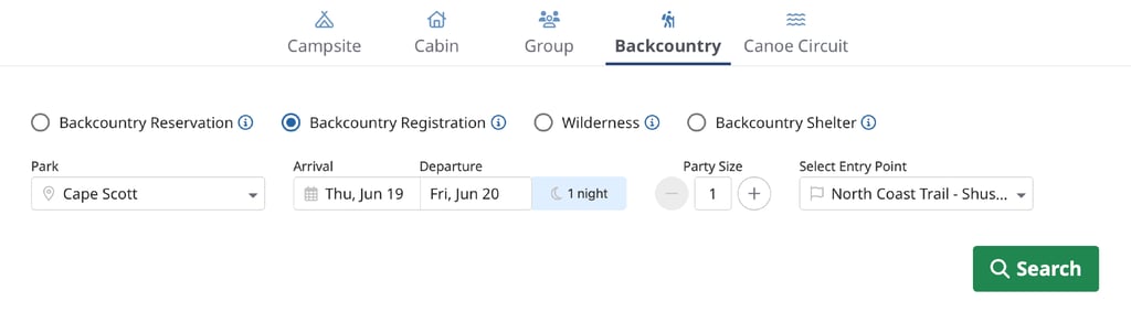
The North Coast trail must also be booked through the BC parks website and no boat reservation is possible without a confirmation from BC parks. Click on "Backcountry Registration" and select "Cape Scott" to reserve your spot for each night.

Route Options
You have two main options when it comes to completing the North Coast Trail:
Standard Route
Distance: ~60 km
Recommended Time: 4–6 days
Route: Starts from Shushartie Bay, ends at Nissen Bight / Fisherman's Bay, then continues to St. Joseph Bay and exits via Cape Scott Trailhead.
Extended Route (via Westernmost Point)
Distance: ~80 km
Recommended Time: 6–8 days (or 4 if you're a bit masochistic like us)
Route: Same as standard route but after reaching Nissen Bight, you detour to the Westernmost point of Vancouver Island. Between Experiment Bight and Guise Bay, you’ll walk a unique narrow strip of land flanked by two totally different ecosystems—one side a windswept grassland, the other a long sandy beach. You’ll return the same way to rejoin the main exit path at Cape Scott Trailhead.
Both options require a decent level of fitness, experience with backcountry navigation, and a solid dose of mental grit.
If you’re going with a group, ideal logistics would be leaving one car at Cape Scott Trailhead (near St. Joseph Bay) and the other in Port Hardy, saving yourself some money on the shuttle back after the hike. But... we were going solo on this one. So we parked the car in Port Hardy, crossed our fingers, and hoped for a ride back at the end. Classic “we’ll figure it out later” energy.
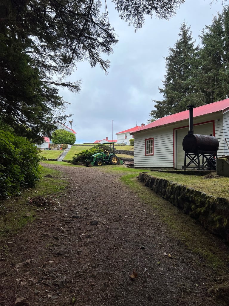
Morning in Port Hardy
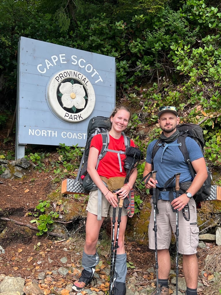
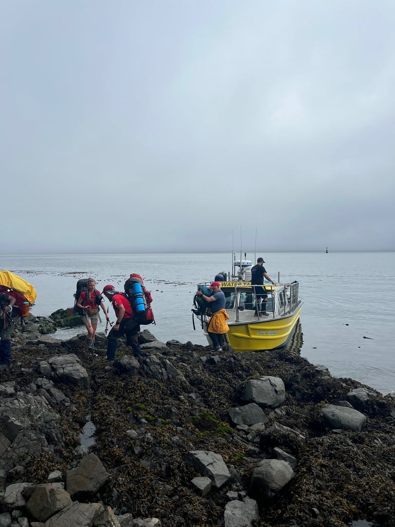
After a night spent in the car near Port Hardy (there are a few pull-over spots around town), we parked at the marina, where the Cape Scott water taxi would pick us up. You can arrange parking with the boat company—super convenient.
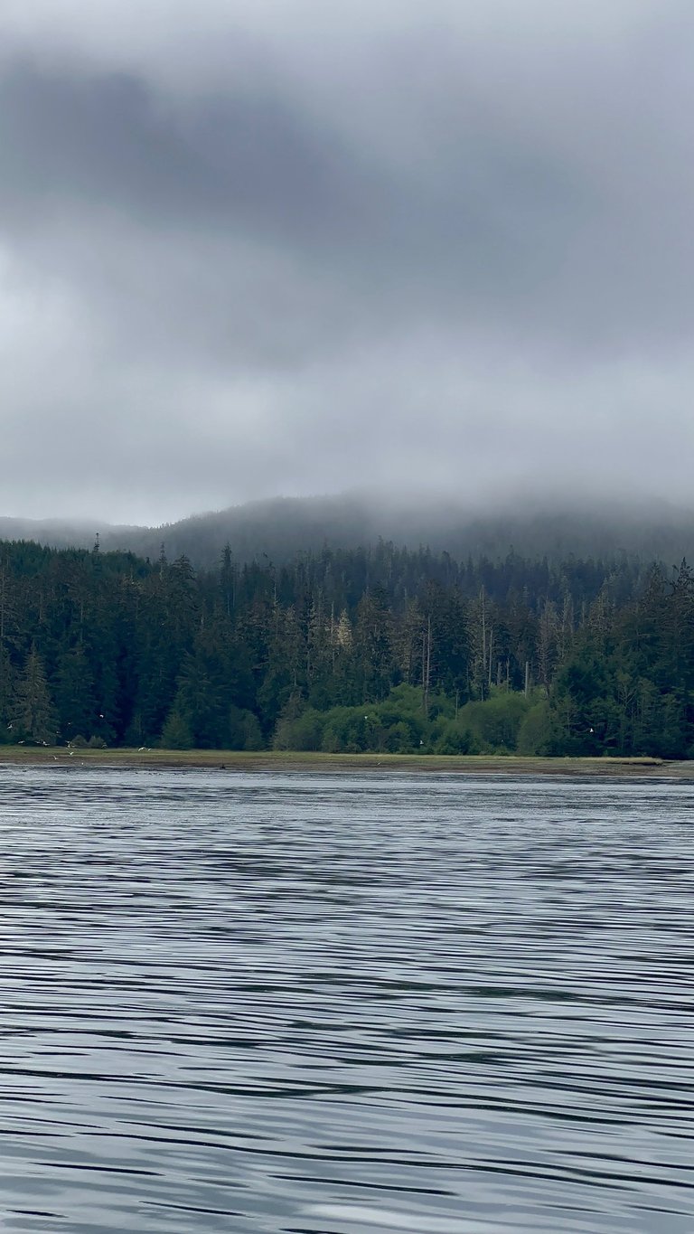
From the moment you step onto the boat, you feel it: this is happening. The hour-long ride alone is worth it—stunning views, possible orca sightings, bald eagles soaring above. The excitement builds with every wave.
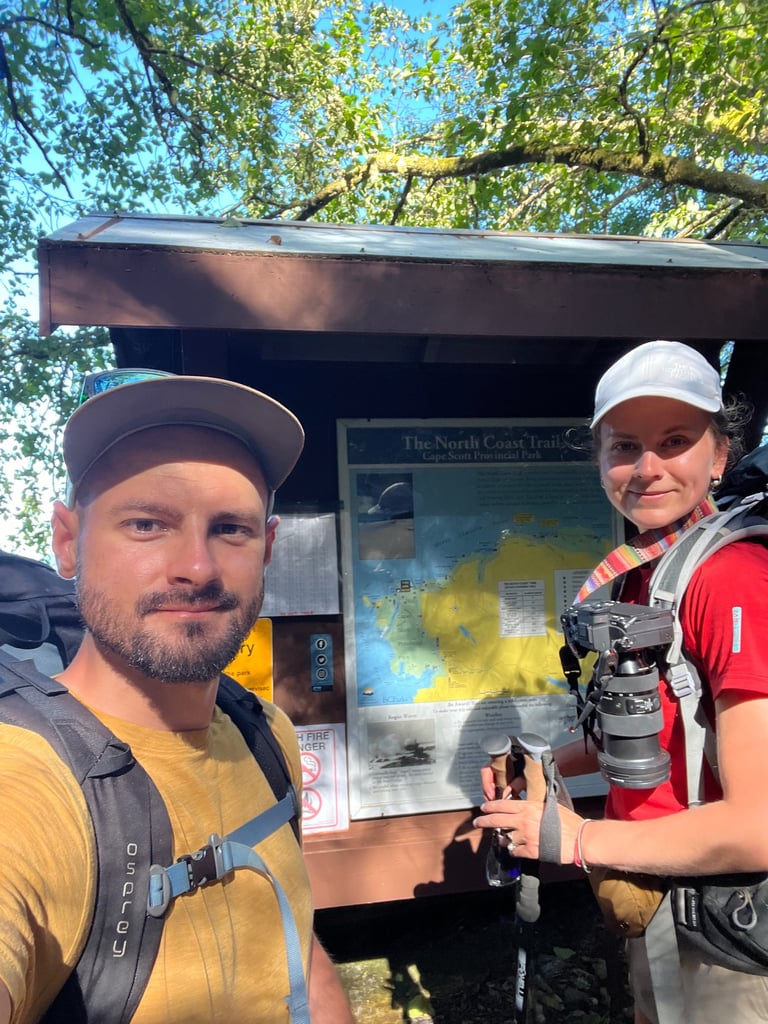
And then you see it: Shushartie Bay. A wild river delta, totally untouched, framed by thick rainforest. The boat slows down, you grab your pack, snap a quick photo at the trail sign... and wave goodbye to civilization. As that little boat motors off into the distance, it hits you: you’re out here now. No roads, no cell service, no quick exit. Unless it's an emergency and you're calling for a floatplane or water taxi, you're walking out.
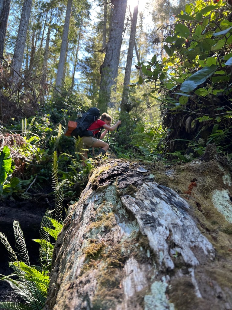
Into the Mud (Literally)
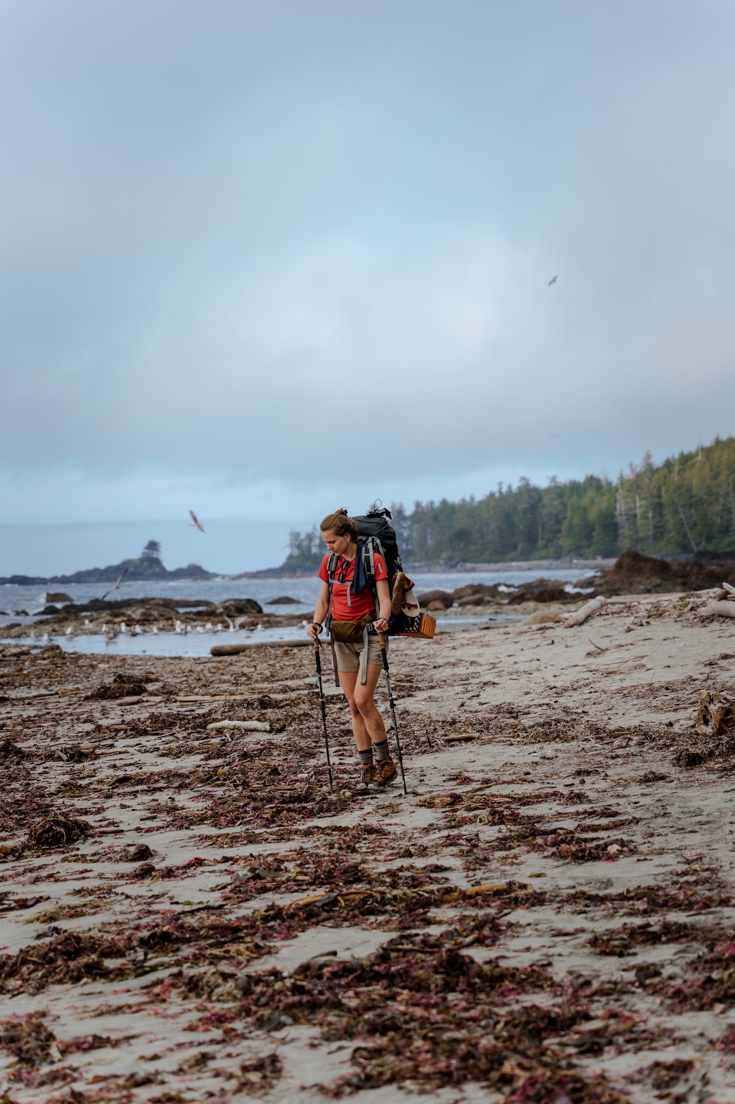
At first, the trail is deceivingly gentle—wooden walkways help you float above the mud. But that doesn’t last long. Soon, you're dealing with what the NCT is infamous for: deep, sticky, boot-eating mud. Depending on recent rain, it might be avoidable... or it might be knee-deep chaos. Either way, do yourself a favour and wear gaiters. Trust us—saving your boots from a mud bath is worth it.
Also—bring water for Day 1. The first 10 km or so have very few water sources. And yes, we read that beforehand. But still... somewhere between repacking and chatting, Petra forgot to fill up her bottle 😂. That meant we were down 2L right off the bat. Not ideal. Thankfully, we found a couple of questionable streams and made it work with chlorine tablets and a filter. Moral of the story: check your water before you hop on the boat. Don’t be like us.
Day 2 – Cable Cars, Whale Bones, and One Very Long Beach
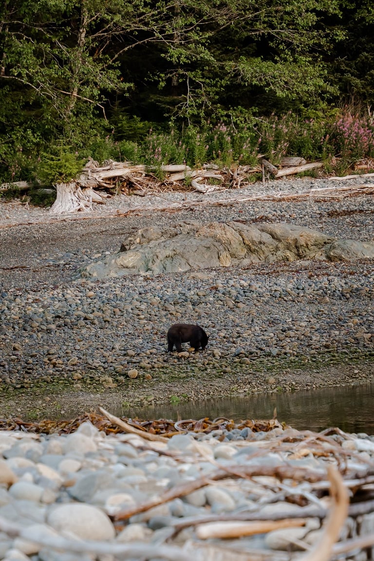
We kicked off Day 2 with the kind of moment that makes you stop and remember just how special this trail really is. Across the Nahwitti River, in the soft morning light, we spotted a black bear calmly looking for breakfast—probably some fresh seafood to start the day right. It didn’t care about us at all, just doing its thing, and it was honestly kind of beautiful to watch. A gentle reminder that we’re blessed to walk through a place this wild and untouched.
After a slow breakfast and packing up camp, it was time to stock up on water again—always a priority on this trail—and head out.
The Cable Car Crossing
Adventure doesn’t wait long on the North Coast Trail. Just minutes into the day, you reach the steel platform and cable car crossing over Nahwitti River. And yes—it’s exactly what it sounds like.
Petra captured the whole scene while I tried to haul the car toward us—it had rolled to the middle of the wire thanks to gravity. Let me tell you, pulling that thing in is a solid little workout. Once it’s close, make sure to wrap the rope securely around the steel pillar—otherwise, it might slide right back to the middle before you can jump on. And when you’re several meters off the ground, trust me, you don’t want to miss your moment.
Once you're on, let the rope go and enjoy the ride. There’s something weirdly satisfying about it. You’ll probably need to use the second rope to pull yourself in at the other end once momentum dies out. Just another part of the fun. This crossing definitely ranks as one of the more memorable moments of the trip.
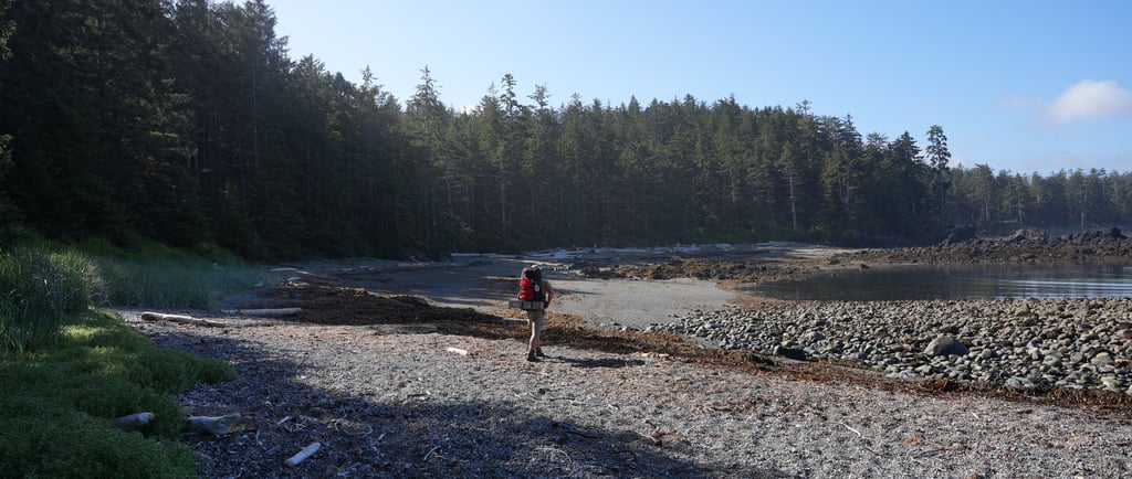
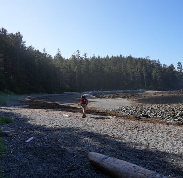
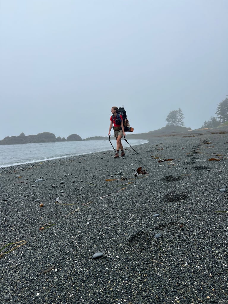
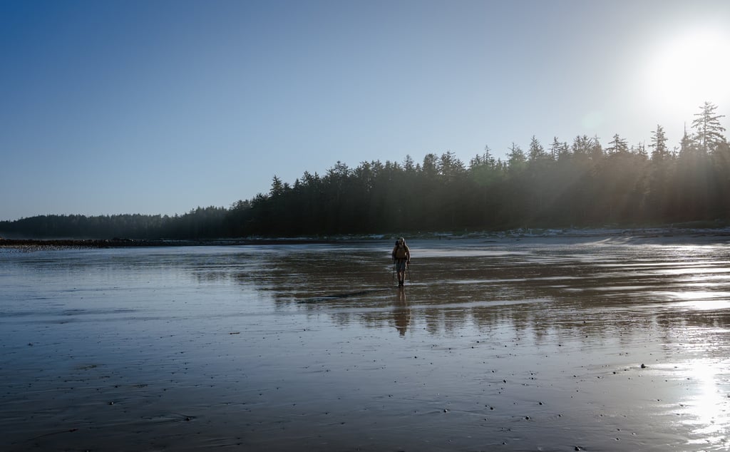
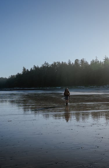
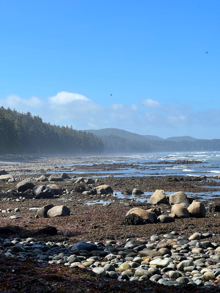
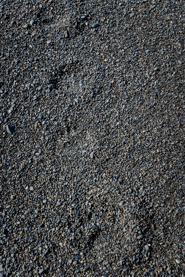
Forest, Beaches, and Pebble Dreams
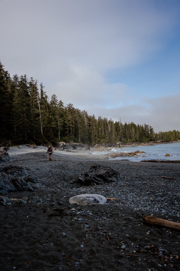
The trail switches between thick Pacific Northwest forest and beautiful beaches, with the kind of rocky outcrops and sandy stretches that make you feel like you’re in some forgotten land. The forest is great for shade on a hot day, but those open beach sections—wow. They let you actually see how far you’ve come, and where you’re going next. And by the end, you'll genuinely come to love walking on pebbles. Weird, right?
The first real “wow” beach you’ll reach is at Skinner Creek—a perfect preview of what this trail is all about. White sand, green forest, and the wild Pacific colliding in that classic PNW way.
Camp at Nahwitti River campsite
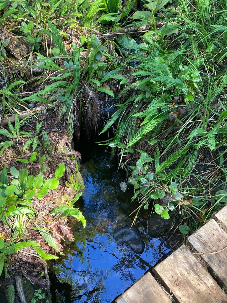
Our goal for the first night was to reach Nahwitti River. We stayed flexible, open to stopping earlier or pushing further, but after a long day (and a bit of a water fiasco), Nahwitti was the right call. It’s a great place to set up camp—water nearby and space to breathe. Just be cautious: the river empties into the ocean, so the lower section is brackish (mixed with salt). You’ll need to walk a few hundred meters upstream to find fresh water. Always taste a few drops on your lips before collecting it—if it’s salty, move further up. But don’t actually drink and spit out untreated water—you really don’t want stomach issues out here.
You might see a few other campers nearby, but always be bear-aware. Keep your bear spray accessible—you’re deep in the wilderness now.
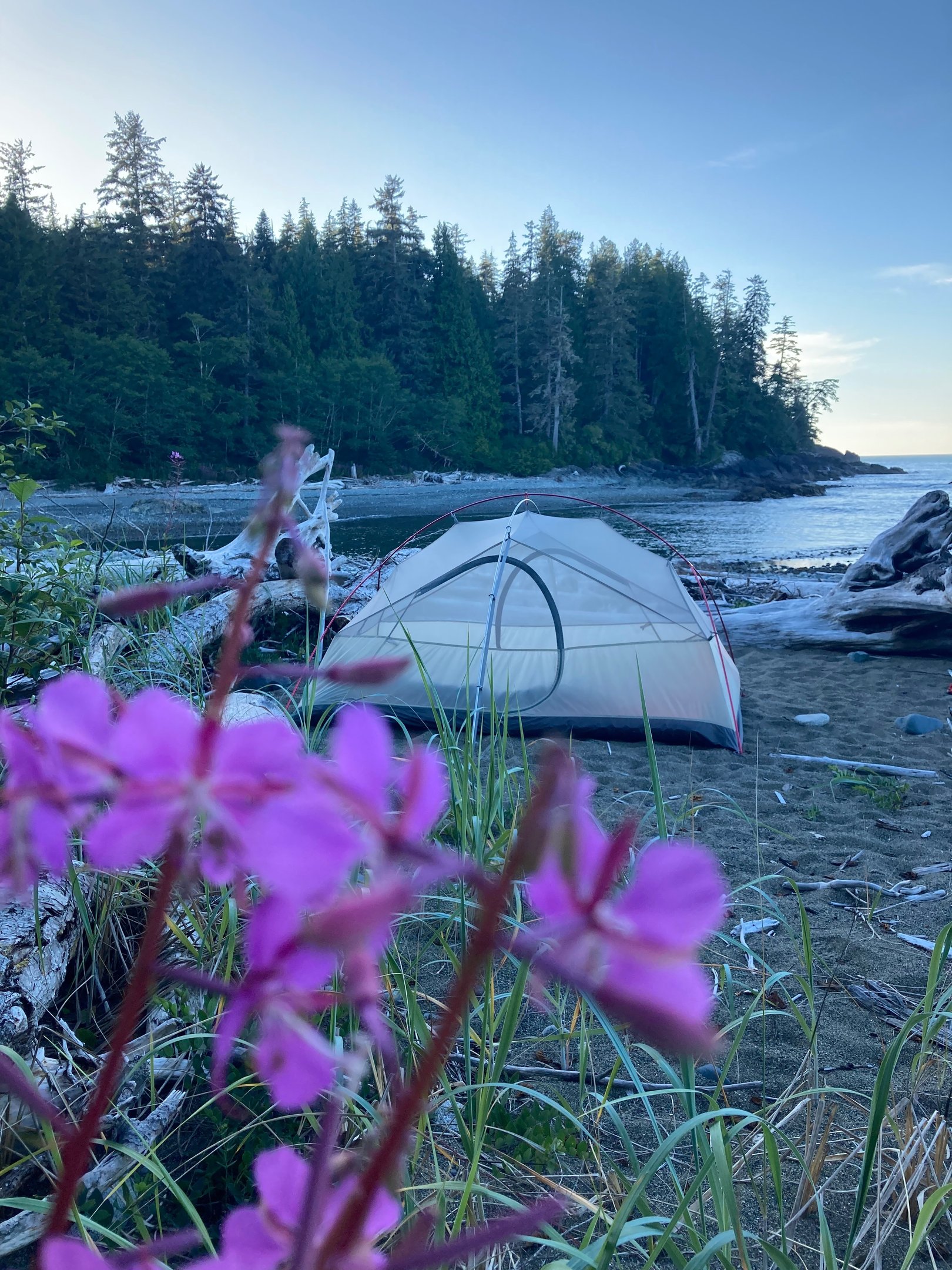
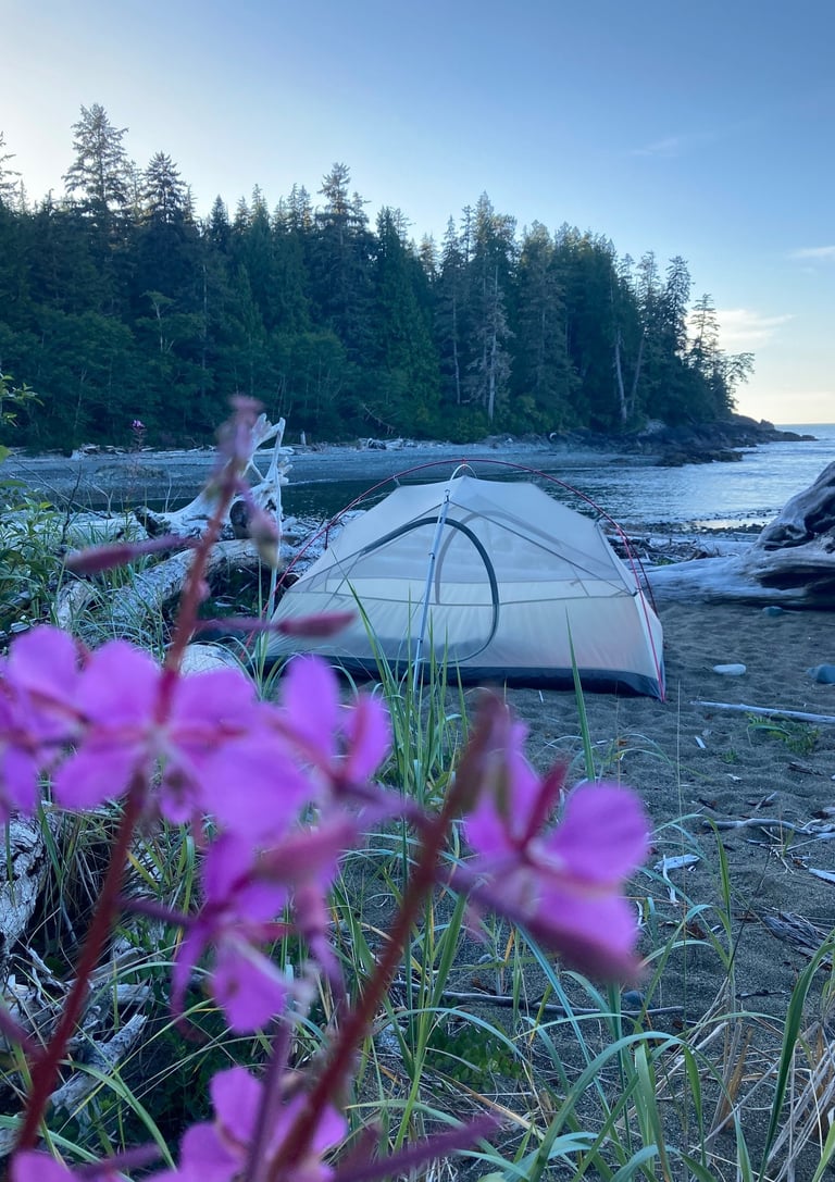
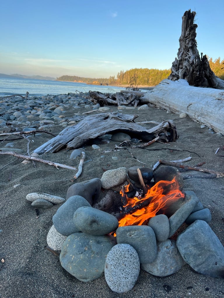
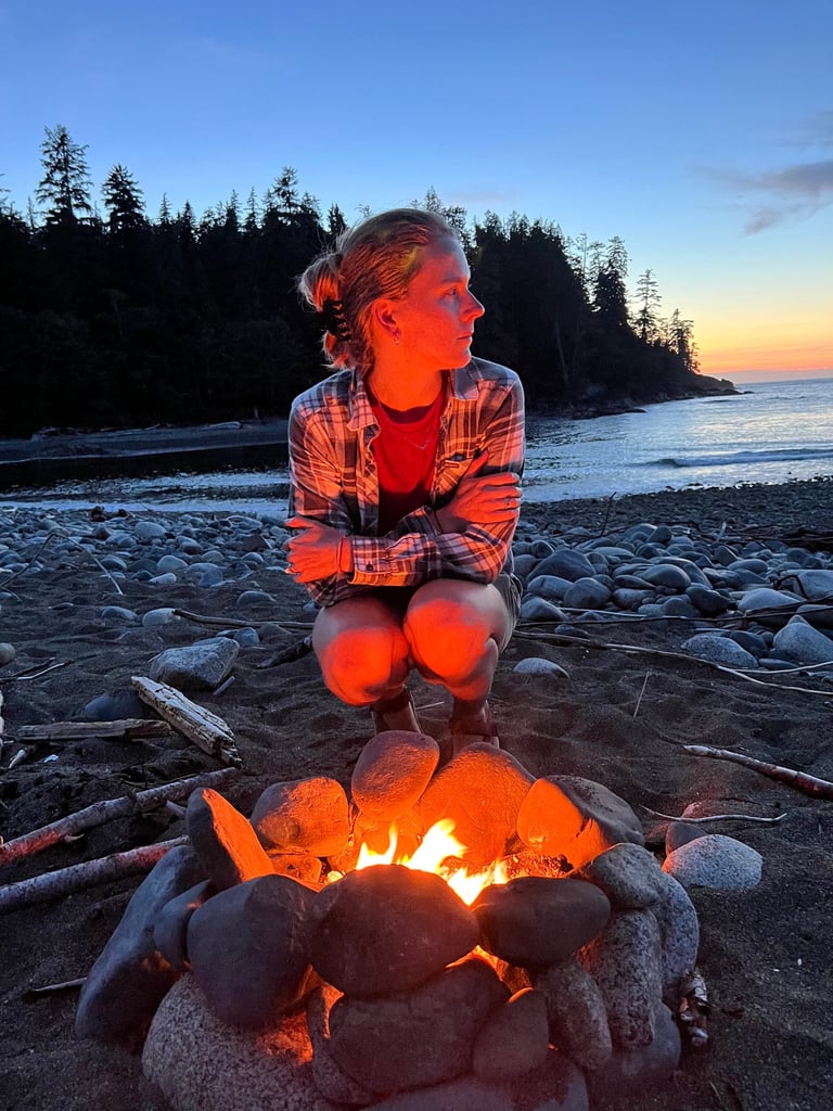
We found a great spot just outside the main camping area, right by the beach where the river meets the ocean. If campfires are allowed (and there’s no ban in place), you’re allowed to have one below the high tide line. Nothing beats cooking dinner, stretching out sore legs, watching the sun dip behind the trees, and feeling like you're a thousand miles from everything.
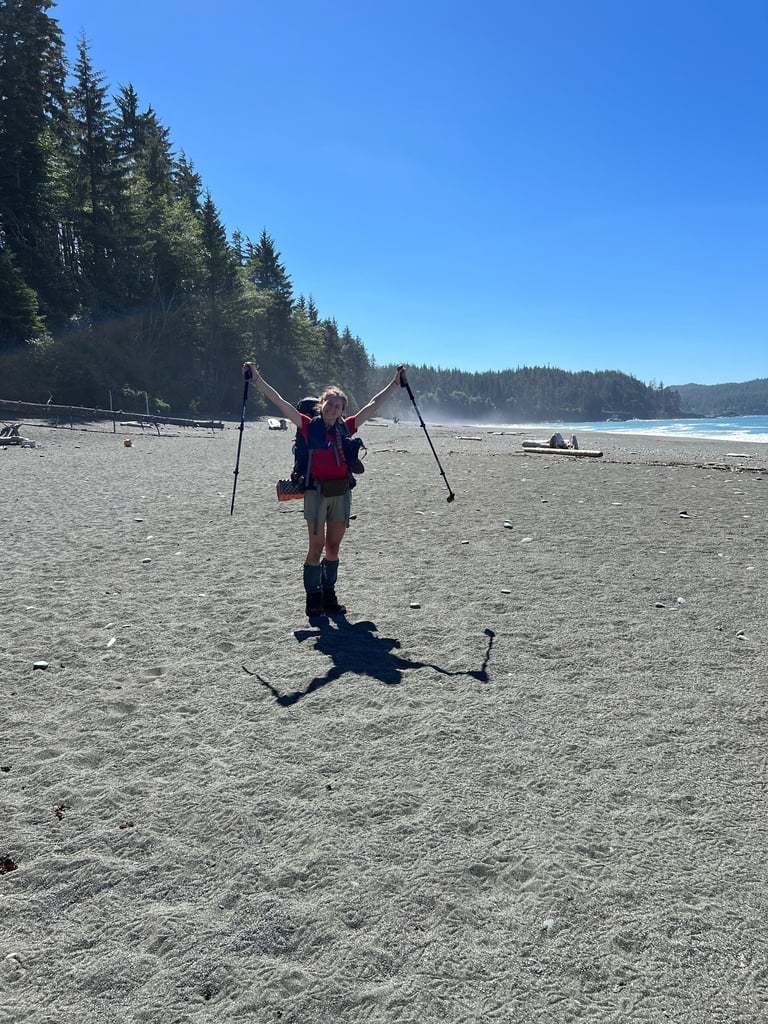
Day 4 — The Last Push
The final morning on the trail. The last time zipping up the tent, strapping on the (finally lighter!) backpack, and lacing up our muddy, trail-worn boots. At this point, we’d eaten through most of our food — leaving just a one-day emergency reserve, just in case — and were cruising with maybe half the weight we started with. And it felt amazing.
Today’s goal: return to the Cape Scott Trailhead, roughly 17 km through the forest. It’s not the most exciting leg of the route, but after all we’ve seen, it’s a chance to reflect — and digest.
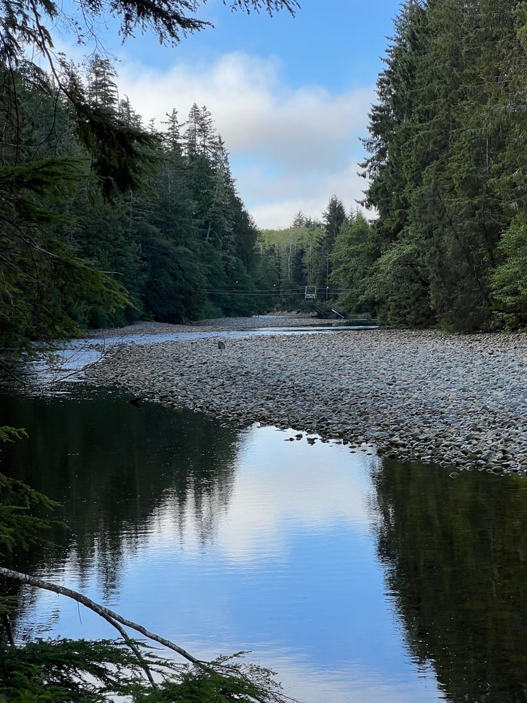
We fill up at Fisherman River (last good water source before the end) and move steadily along the wide trail carved by settlers long ago. Each step brings a mix of satisfaction and fatigue. The wildness of the coast slowly fades behind us, replaced by towering trees and bird song.
And then — we’re there.
The parking lot. Done.
We made it.
North Coast Trail: complete.
We dropped our packs and collapsed into the grass, sweaty, dusty, and glowing. We just lay there for a while — no rush, no schedule, just presence. A passing couple sees us and smiles: “Did you just finish the whole thing?” They leave us with a pair of ice-cold sodas. Best. Sodas. Ever.
That moment right there, when you’re dirty, tired, sore, and completely alive — that’s what makes these adventures so valuable. You embrace the discomfort, the unknown, the effort… and in return, life gives you clarity, and gratitude, and tiny sparkling gifts like soda from strangers.
This is why we do it. Not for likes, not for bragging rights — but to remember how little we truly need to be happy. I’ll take this over a five-star resort any day.
Aftermath & One Last Detour
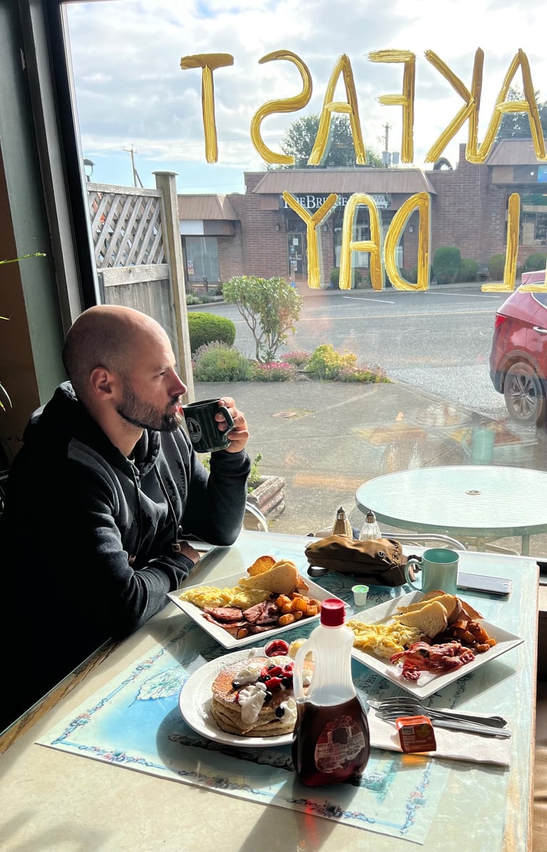
Back in civilization, we treated ourselves: a proper meal at Market Street Cafe. You know those old-school diner breakfasts that taste like someone’s grandma made them with love and bacon grease? That’s the one. Eggs, hashbrowns, toast, the works — 10/10, would hike 80 km again for it. A hot shower, and a cozy campground. Human comforts. Appreciated more than ever.
But… we weren’t quite done. What do you do after finishing a tough backcountry trek?
You go back.
We’d heard whispers of St. Joseph Bay — said to be one of the most beautiful beaches in Canada. We’d missed it on the trail, so we drove the 80 km gravel road back to Cape Scott, parked, and made the side trip.
And wow — it delivered.
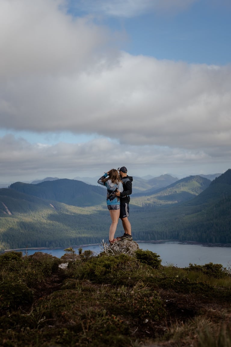
A pristine, crescent-shaped beach straight from a dream. Untouched. Uncrowded. Undescribable. But apparently, we hadn’t had enough hiking either. From the beach, we headed up the trail to Mount St. Patrick, a lesser-known but totally worth-it side trip that gives you panoramic views over the bay and deep into the remote northern edges of Vancouver Island. The hike around 5.6 km and 450m gain. We stood there, staring out over everything we’d walked through just days ago. The north tip of Vancouver Island in full view — rugged, proud, and wild.
Back at the beach, we watched the sun dip into the Pacific one last time. A perfect ending to an imperfect, muddy, challenging, extraordinary adventure.
Mud, Pebbles, and Cape Sutil
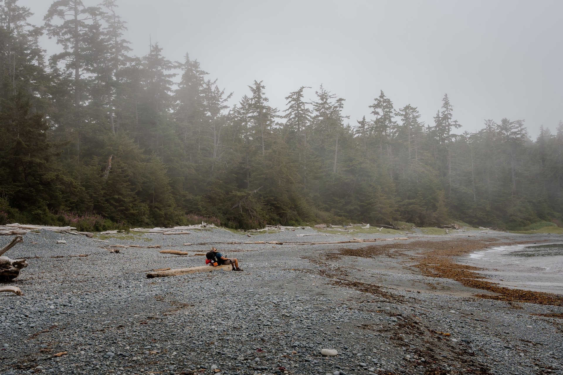
Back on foot, the trail leads through lush rainforest—still muddy, but manageable—and eventually opens up to a rocky beach heading toward Cape Sutil. This section is called Tripod beach and it is where tide timing really matters. Check and download the tide table and note you can only cross this part when the tide is below 2m. If you hit it at the wrong time, you can get cut off with no way forward unless you backtrack or climb up some sketchy cliffs. There’s a forest detour trail, but it’s not exactly easy either—muddy, steep, and filled with ropes for support. Choose your challenge. 😅
Eventually, the forest spits you out onto Cape Sutil Beach, where you get an amazing view of the northernmost point of Vancouver Island. It's also an Indigenous sacred site, so be respectful as you pass through.
You can camp here—there’s an established site at Cape Sutil—but we decided to push on to Shuttleworth Bight, about 6 km further. To be totally honest, we’d already had enough of the pebble beach walking just before Cape Sutil… only to discover that the entire stretch to Shuttleworth Bight is even more pebble beach. 🤦♂️ At that point, you just laugh and keep moving. There’s no turning back.
Whale Bones and Natural Showers
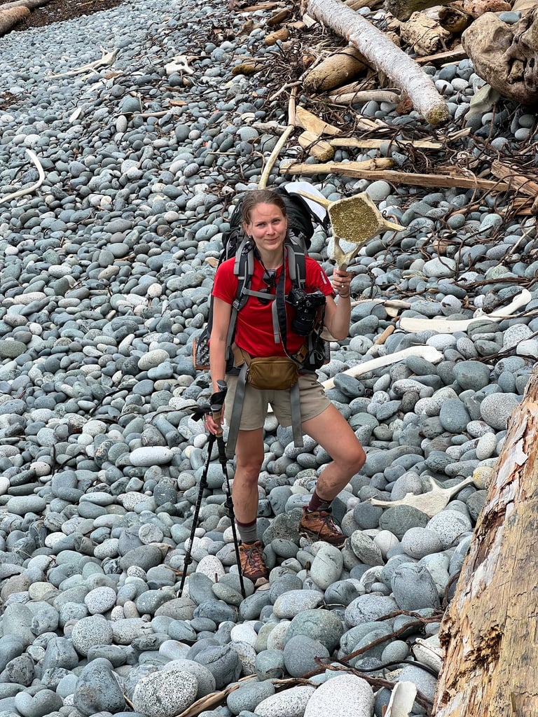
We stopped for a late lunch on one of the beaches past Cape Sutil and stumbled across something wild—old whale bones scattered near the driftwood. I’d never seen anything like that before. It felt surreal, ancient, and humbling all at once. One of those strange treasures the coast just gifts you.
The weather had shifted too—cooler, overcast, pure PNW vibes—which was actually a relief. After hours of beach walking, the breeze was perfect.
We reached Irony Creek, just at the start of Shuttleworth Bight, around 5 PM. It’s a small stream tucked right at the edge of the forest, and it marked the perfect place to stop. We set up camp a few hundred meters down the beach where we had some space to ourselves.
And then came the best part: a dip in the ocean, followed by a splash in Irony Creek—our very own “natural shower.” Cold? Absolutely. But also completely refreshing after a long, gritty day. The sunset that night was unreal, painting the whole bay in pinks and oranges. We sat there, warm food in our hands, ocean breeze in our faces, and just soaked it all in.
Day 3
Morning walk along Shuttleworth Bight — that long, stretched, mirror-like beach — was something else. It's one of those surreal moments where the ocean is so calm it reflects the sky like glass, and you feel like you’re floating between worlds. It’s peaceful, humbling, and a little hypnotizing after the chaos of mud and roots from the previous days.
Then, back to the trail — and yep, another day, another cable car 😄 This time to cross the Stranby River. At this point, we’re basically cable car veterans, pulling ourselves across like it's a gym workout we signed up for. Smooth and easy now.
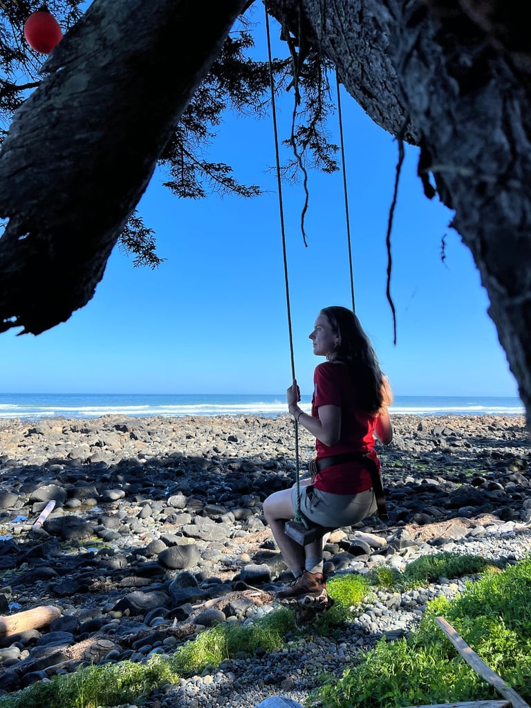
More pebble beaches followed (yep, still a leg workout), but today they were lightened up by a very unexpected treat: a swing at Christensen Point, around km 27 of the trail. Hung from a tall Sitka spruce, it looked out over the ocean, and of course we had to stop for a proper break — lunch, a bit of swinging, and just soaking in the view. Sometimes that’s all it takes to reset your energy. Petra swings in the wind while I inhale my trail lunch like it's a five-course meal. It's these small joys that punctuate the long slogs.
As you walk this stretch, keep your eyes open — there’s so much washed-up character along the way: broken boats, old fishing gear, animal bones, and piles of seaweed that make you wonder just how powerful the tides must be out here. It’s like nature’s own gallery of coastal chaos.
But today is a long day — our goal is to make it all the way to Nels Bight, which is around 22 km from where we started that morning. On the way, you pass Laura Creek (another campsite option if you want to take a shorter day). Not us — we’ve got a plan to squeeze this adventure into four days and still save time for the trail’s reward at the end (more on that soon).
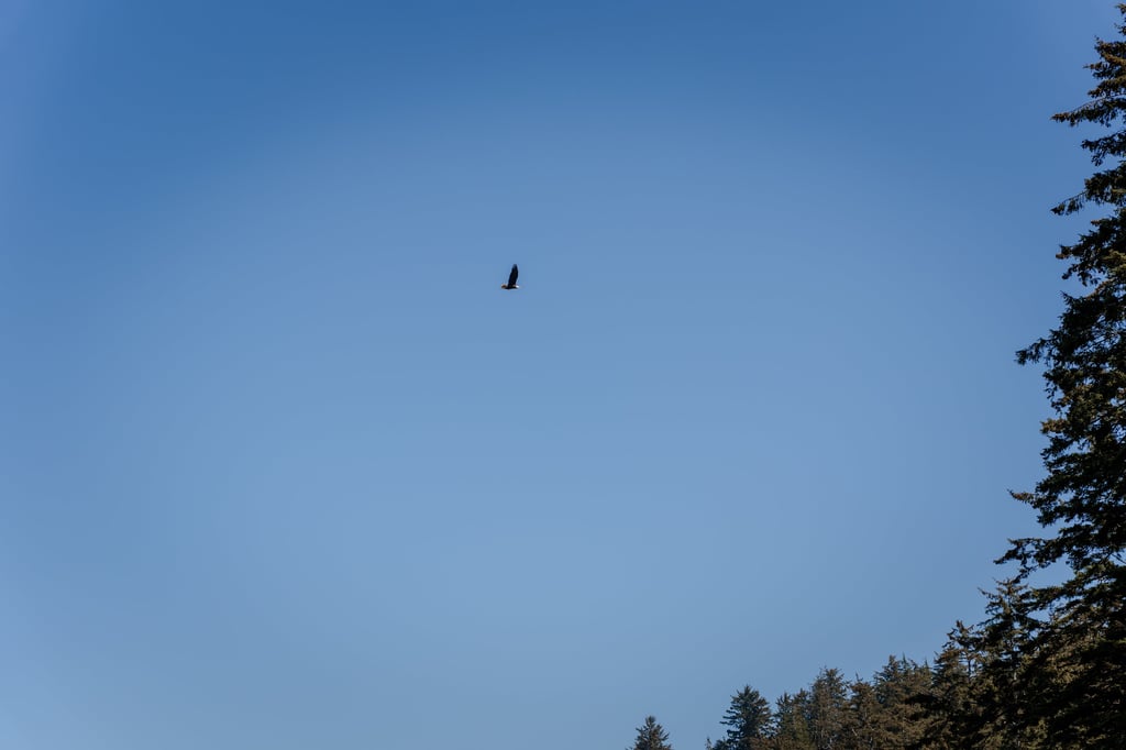
The second half of Long Beach was surprisingly forgiving. The sand was firm, the pace good, and above us eagles soared — one even had a fish in its claws, probably headed back to a nest hidden high in the trees. It’s the kind of wildlife moment that makes you stop mid-step and just smile.
After leaving the beach, water got tight. Our bottles were nearly empty by the time we reached Nissen Bight, but thankfully, there's a creek just a few hundred meters east along the coast — totally accessible and a much-needed refill spot. Pro tip: never pass water without topping up — you’ll thank yourself later.
Here, the coastal section of the trail ends — many hikers turn inland from here and head back to the Cape Scott Trailhead. But not us. We were just getting to the good stuff.
This section marks the end of the official coastal route. From here, many turn inland back to the Cape Scott Trailhead. But of course, we’re going further — to the true westernmost point of Vancouver Island: Cape Scott.
On the way to Nels Bight, we passed through the ghosts of history — the ruins of the Danish settlement from the early 1900s. They came to build a new life here, farming and fishing, but the harsh weather, isolation, and supply difficulties eventually drove them away. You’ll still see traces of them though — old wagon roads carved into the land, collapsing wooden fences, rusted tools overgrown with moss. It’s haunting and fascinating at the same time.
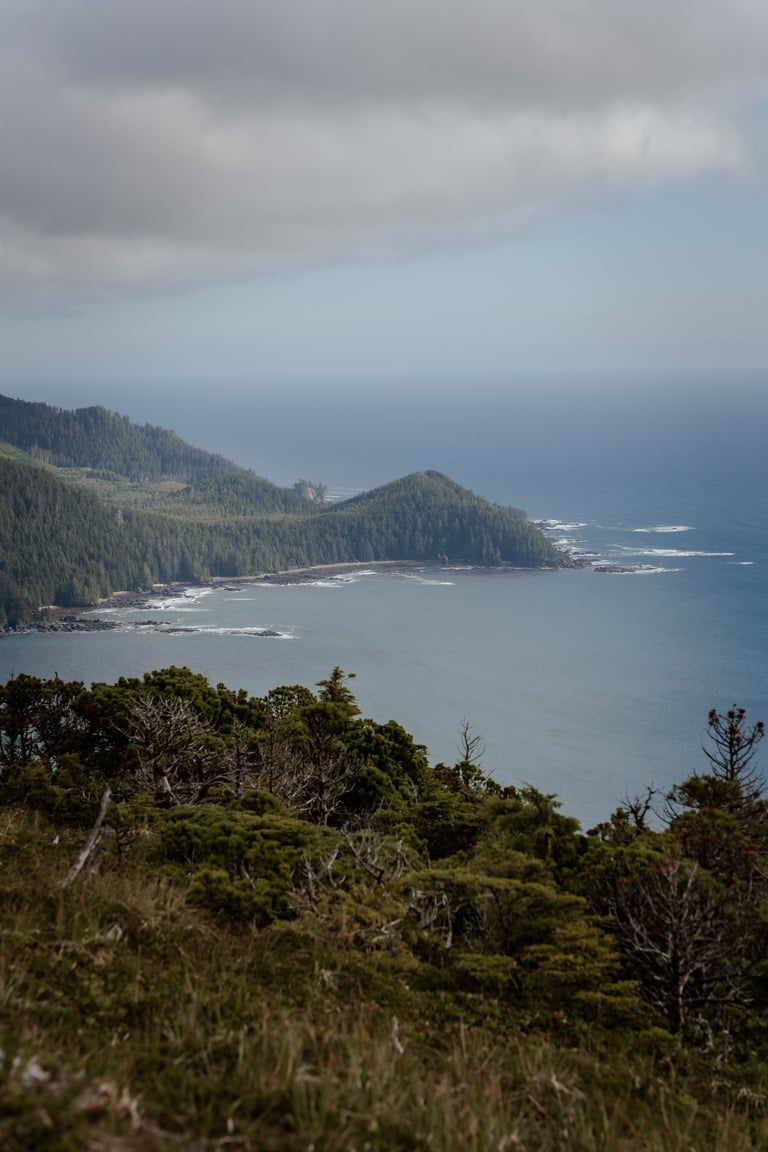
Reaching Nels Bight, we dropped our big packs on the beach and went light to reach the Cape Scott Lighthouse, the westernmost tip of Vancouver Island. The area around the Cape is wild and dramatic — you pass through an incredible spot where Experiment Bight and Guise Bay almost touch, divided only by open grassy headland. On one side: soft sand and turquoise water; on the other: rugged, wind-whipped coastline. It feels like standing between two worlds.
The lighthouse itself was built in 1960, replacing earlier versions that had failed to keep ships safe in these foggy, treacherous waters. Today, it’s still active — powered by solar and maintained by a live-in keeper who you might just spot tending the property. From the edge of the cape, you can see nothing but ocean and sky — it's raw and beautiful, and absolutely worth the effort.
We collected tap water at the lighthouse (note: there’s no potable water at Nels Bight, so plan your timing well), then made our way back just as the weather started to turn. We crawled into our tent as light rain tapped the fly, tired but buzzing from what we’d seen. Dinner in the tent, waves in the distance, and hearts full. Not a bad way to end the longest day of the trip.
A long day, no doubt — maybe the longest of the whole trip — but filled with reward after reward. If you're doing this trail, Day 3 is the heart of it all. Big miles, big scenery, big feelings. You’ll earn your rest that night — and it’ll feel damn good.
Eventually, reality crept back in and we realized — wait, how do we actually get back to Port Hardy? 😅
Luckily, trail magic had one more surprise. A guy we’d crossed paths with a couple of times on the trail — a quiet solo hiker from Mission, a teacher — pulled in with his vehicle. We hadn’t talked much before, because on trails like this, sometimes silence is sacred. Solitude is part of the experience. But now, back in the real world, we got to chatting. He kindly offered us a ride, and as we bounced down the gravel road together, we swapped stories about the trail, our motivations, and what drew us out here in the first place.
Turns out, he was on a serious mission of his own — trying to lose weight, get back in shape, reclaim his health. And he wasn’t messing around. A few weeks later, we saw on social media that this guy walked from Mission to Grouse Mountain in a single day. That’s over 100 km! Just… unreal. The world is full of inspiring people — you just have to be out there to meet them.

Trip Recap
So… was it worth it?
Absolutely. Once. 😄
The North Coast Trail is no joke.
It’s raw, remote, relentless — and totally worth it. We did it in 4 days, but it was an aggressive pace. It can absolutely be done in more, and probably should if you want to soak in every moment without racing the clock. But More days = heavier pack = slower pace. There’s always a trade-off. That said, the right number of days really depends on your fitness, your goals, and how much food weight you're willing to carry.
This trail isn’t for everyone. But if you’re determined, well-prepared, and ready to embrace both discomfort and wonder — it might just be for you.
Would we recommend it?
Yes.
To the right kind of crazy. 😉
We feel grateful beyond words for the chance to walk this land. To witness its beauty. To be visitors in a place this sacred and wild.
Best Time to Go
The trail is best tackled between May and September, which coincides with when the boat shuttles operate. Your best bet is to go after a longer dry period, when the mud is more manageable and creek crossings are safer, but also water sources are fewer. It's ideal to find a balance between the two.
Estimated Costs
Here’s a rough breakdown of what you can expect:
Boat shuttle (Port Hardy → Shushartie Bay): ~$150–200 CAD per person
Cape Scott Trail parking lot shuttle (optional): ~$50–100
Park fees and camping permits: ~$10–15 per night
Satellite device rental (if you don’t own one): ~$50–100/week
Fuel, food, and other prep: varies
Expect $300–500 CAD per person depending on logistics, equipment rentals, and route choice.
Final thoughts
The North Coast Trail isn’t just a hike—it’s an immersion into a wilder version of the island, one that asks more from you, but gives back tenfold in beauty and solitude. If you’re willing to do the planning, carry the weight, and push through the mud, you’ll experience one of the rawest, most remote trails in the country.
Useful links
Explore
Inspiring mindful adventures in nature sustainably.
Join the wandering Community
© 2024. All rights reserved.
by @wanderingintwo